
Virginia Creeper Trail

Details
A destination for visitors from across the US and a cherished asset for local residents, the Virginia Creeper Trail is best known as a biking trail, but in reality, the VCT is a multi-use trail with opportunities to bike, walk, run, fish, horseback ride, people watch, cross country ski and geocache, along with chances to observe and learn about the native fauna and flora, as well as the fascinating historical and economic role the railroad played in southwest Virginia.
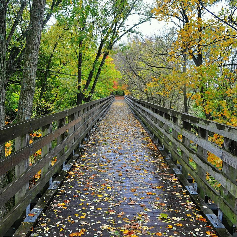
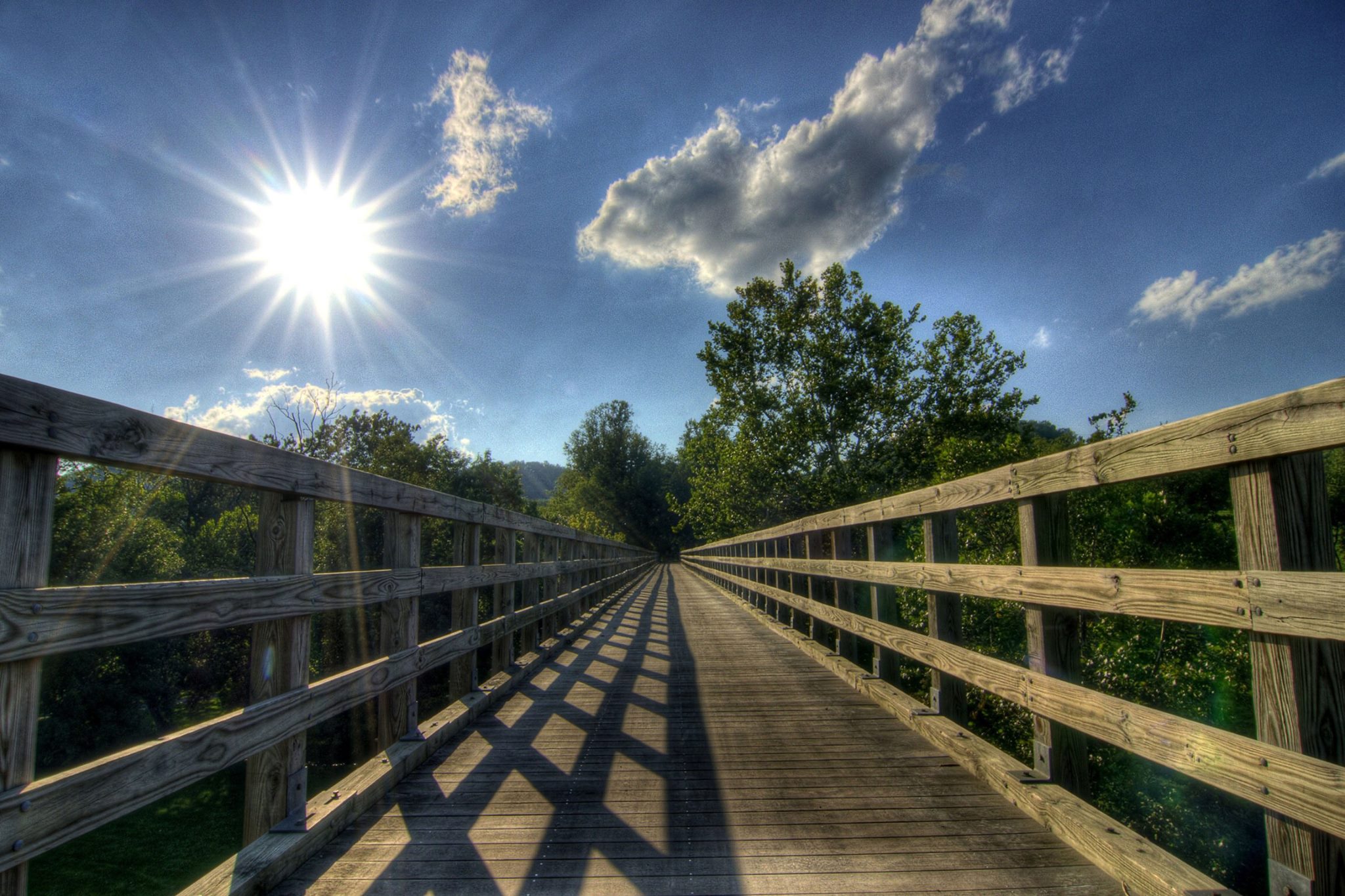
From Whitetop Station near the top of the second highest peak in Virginia, the Creeper Trail meanders (mostly!) downhill through and over some of the most spectacular scenery imaginable – open farmlands and fields, dense forests, Christmas tree farms, rushing streams and creeks. On your way, you’ll sail across nearly 50 wooden trestles as you glide above this stunning scenery and travel through small, charming towns and past restored railroad depots. The VCT will intersect with the Appalachian Trail at a few points along your journey and, between Damascus and Whitetop, you’ll find Whitetop Laurel Creek, one of Virginia’s largest and most beautiful wild trout streams, just feet from the trail.